Comprehensive Hiking Map App for Outdoor Enthusiasts
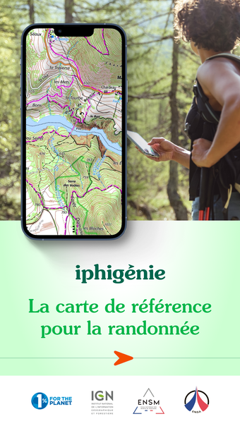
Iphigénie is a versatile hiking map application designed for outdoor enthusiasts, offering a wide range of features tailored for both casual users and professionals. It provides access to over 40 detailed topographic basemaps, including IGN maps and various other sources, ensuring users have reliable navigation tools even in remote areas. The app allows users to download maps for offline use, create and edit hiking tracks, and import personalized markers for locations of interest.
During outings, Iphigénie enables geolocation on selected basemaps, allowing users to follow routes without network connectivity. It tracks real-time metrics such as distance, elevation, and speed, enhancing the hiking experience. Post-outing, users can organize and back up their data in the Cloud, export GPS tracks, and share their adventures. The app is available for free with limited features, while a subscription unlocks the full potential of the service.